Monterey TribuneEnvironment & Coast
Sunday, October 11, 2026 Search Subscribe
Monterey · Pacific Grove · Carmel-by-the-Sea · Seaside · Marina

Beach Hazards Statement runs through Monday as coastal flood advisory stretches to Tuesday

The National Weather Service warns of 16-foot surf, sneaker waves and up to 1.4 feet of coastal flooding along Monterey Bay and the Big Sur Coast.
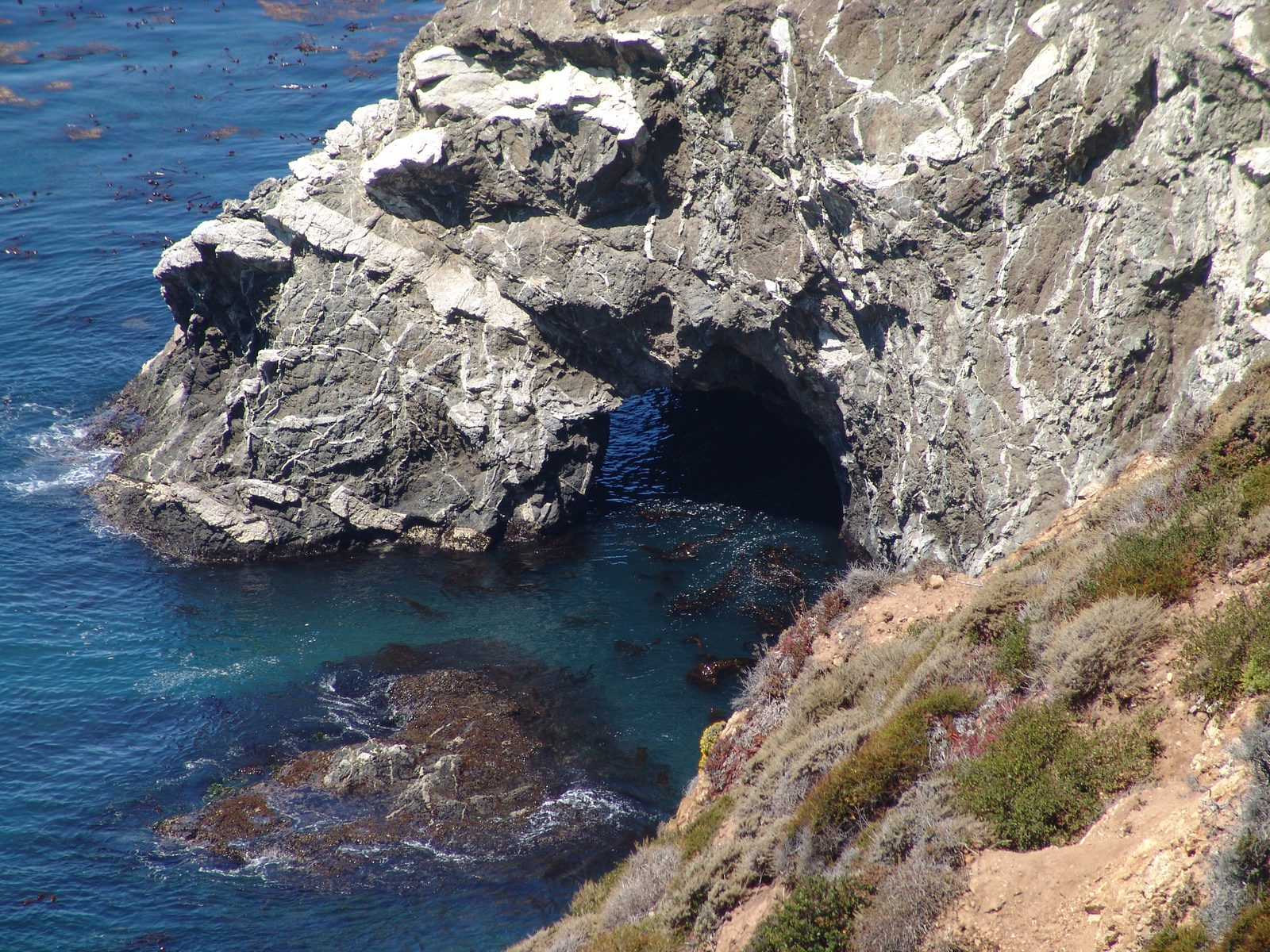
A sea arch along the Big Sur coastline. The National Weather Service warns of breaking waves up to 16 feet and an increased risk of sneaker waves along the coast through Monday evening.
Martha Alejandre via U.S. National Archives / Public Domain · Source

A Beach Hazards Statement is in effect through Monday evening and a Coastal Flood Advisory runs until 3 p.m. Tuesday for Northern Monterey Bay, Southern Monterey Bay and the Big Sur Coast, according to the National Weather Service office in San Francisco. The alerts were updated Saturday afternoon and remain live across the region.

Forecasters expect an increased risk of rip currents and sneaker waves with breaking waves up to 16 feet, and up to 1.4 feet of inundation above ground level in low-lying areas near shorelines and tidal waterways during high tides, the Weather Service said.
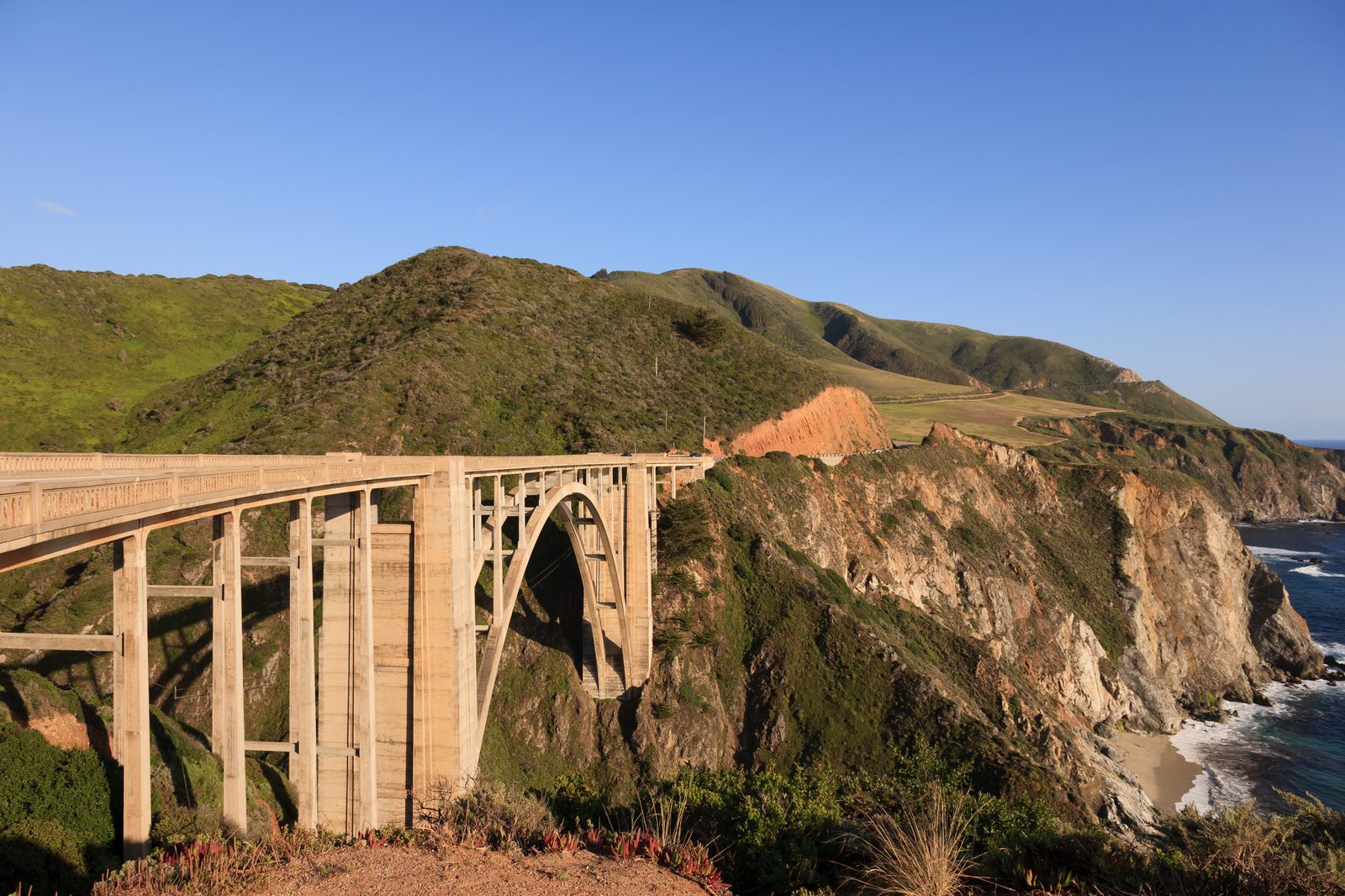
Bixby Creek Bridge on Highway 1 in Big Sur. A Coastal Flood Advisory is in effect for the Big Sur Coast and Monterey Bay through 3 p.m. Tuesday.
King of Hearts / Wikimedia Commons (CC BY-SA 3.0) · Source

At the San Francisco tidal gauge, high tide is expected to reach 1.4 feet above normal at 12:18 p.m. Sunday, 1.2 feet above normal at 12:46 p.m. Monday and 1.1 feet above normal at 1:14 p.m. Tuesday, with up to 1.2 feet of surge enhancing the astronomical tide and the flooding threat, according to the advisory. High tide times vary up to 90 minutes earlier or later along the Pacific Coast.

The Weather Service expects flooding of lots, parks and roads, with only isolated road closures anticipated. High tides will flood coastal trails, cut off access to some low-lying beaches and coastal areas, and bring water and waves farther up the beach than typical.
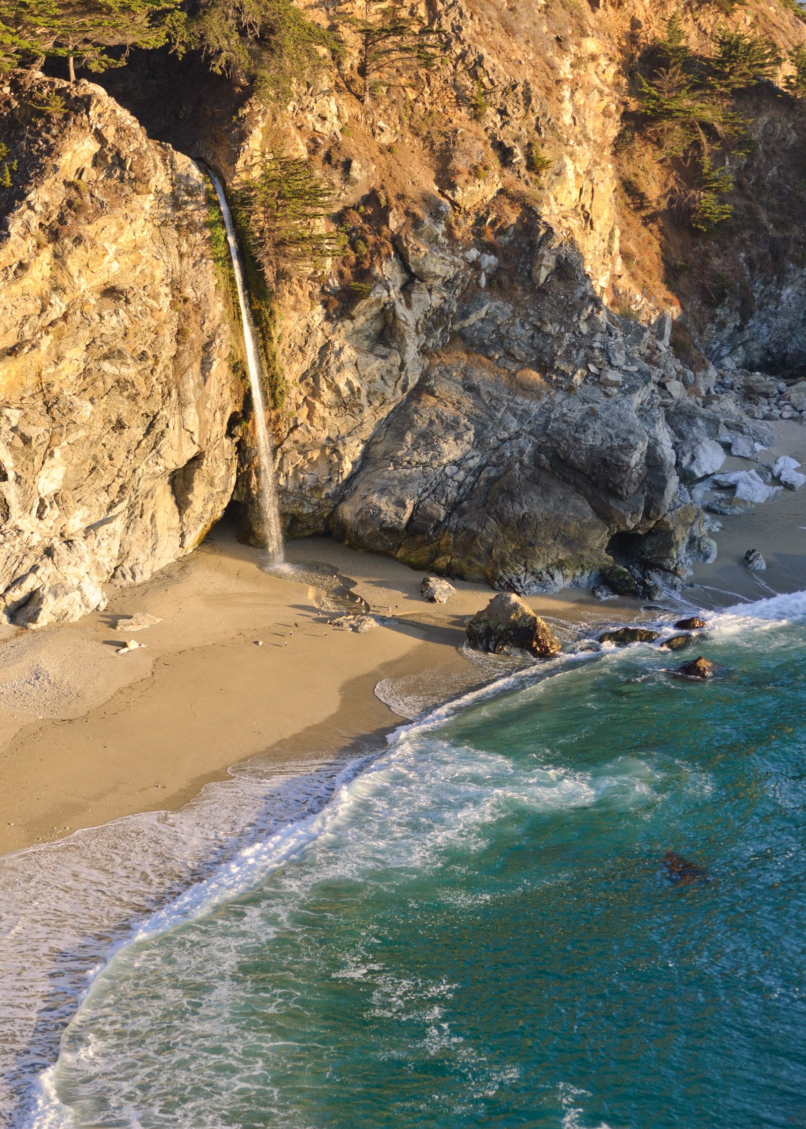
McWay Falls in Julia Pfeiffer Burns State Park. Forecasters expect high tides up to 1.4 feet above normal to flood coastal trails and cut off access to some low-lying beaches.
King of Hearts / Wikimedia Commons (CC BY-SA 4.0) · Source

"Stay off of jetties, piers, rocks, and other waterside infrastructure. Remain out of the water to avoid hazardous surf and NEVER turn your back on the ocean," the advisory instructs. Motorists should allow extra travel time, never drive around barricades or through water of unknown depth, and take steps to protect flood-prone property.

The Californian flagged the same pair of alerts in its Columbus Day weekend travel guide for Big Sur on Oct. 9, noting coastal flooding up to 1.4 feet in low-lying shoreline areas during high tides and dangerous surf conditions through the weekend.
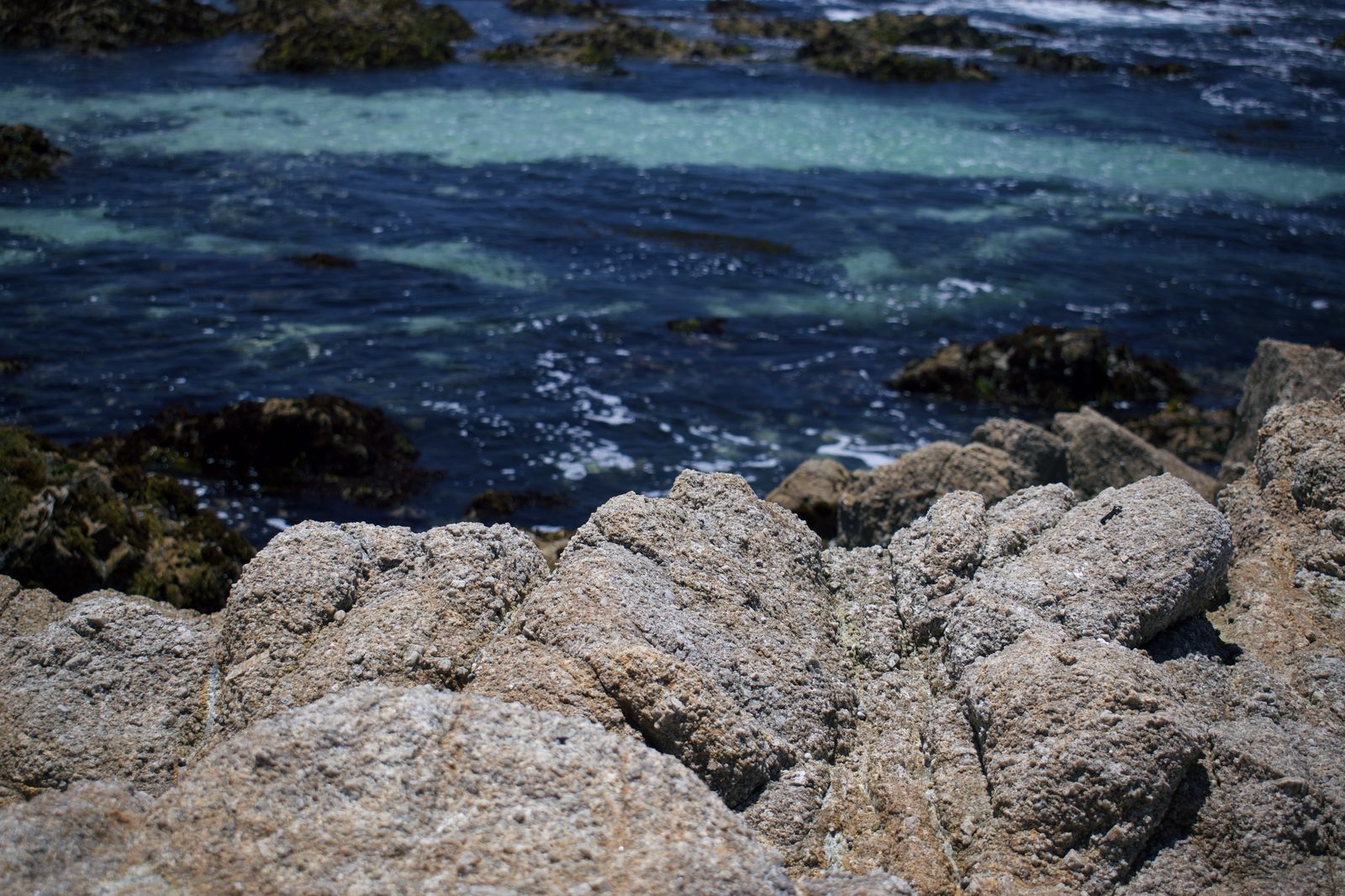
Surf breaking over the rocks at Asilomar State Beach in Pacific Grove. Officials advise staying off jetties, piers and rocks, and never turning your back on the ocean.
Levi Clancy / CC0 · Source
Filed under:
  • big sur
  • monterey bay
  • weather
  • coastal flooding
  • national weather service
Environment Reporter

Ingrid Halvorsen covers the Monterey Bay coastline, wildfire, water, and the science shaping the region's environment.

Corrections
We correct errors promptly and note them here. Send corrections through the contact form, choosing the Correction topic.

More from Environment & Coast

October heat wave ends tonight as advisory expires for inland Monterey County

The National Weather Service heat advisory covering interior Monterey County, including the Santa Lucia Range, the Pinnacles area, the southern Salinas Valley and Lake San Antonio, expires at 10 p.m. Thursday after highs pushed past 100 degrees.

By Ingrid Halvorsen · Oct 8, 2026

Monarch butterflies must wait until 2030 for a federal protection decision

The U.S. Fish and Wildlife Service agreed to issue a final Endangered Species Act determination for the monarch by June 6, 2030, settling a lawsuit from two conservation groups. In Pacific Grove, where Butterfly Days wrapped Sunday, last season's sanctuary count was 188, down from 6,508 three years earlier.

By Ingrid Halvorsen · Oct 5, 2026

Pure Water Monterey expansion nears completion as desal opponents ask CPUC to stand down

The recycled water project grows from 5 to 7.6 million gallons a day into the Seaside Basin. A ribbon cutting is scheduled Thursday, Oct. 2.

By Ingrid Halvorsen · Sep 30, 2026
Read nextOctober heat wave ends tonight as advisory expires for inland Monterey County