Monterey TribuneEnvironment & Coast
Sunday, November 15, 2026 Search Subscribe
Monterey · Pacific Grove · Carmel-by-the-Sea · Seaside · Marina

Asilomar and Carmel River state beaches are closed through Sunday morning as the high surf warning holds

California State Parks closed Asilomar State Beach and its coastal trail on Friday night and Carmel River State Beach on Friday afternoon, with both closures set to run until Sunday morning and a possible extension through Tuesday. Point Lobos was closed on Friday, and the weather service kept its high surf warning in place in an early Saturday update.
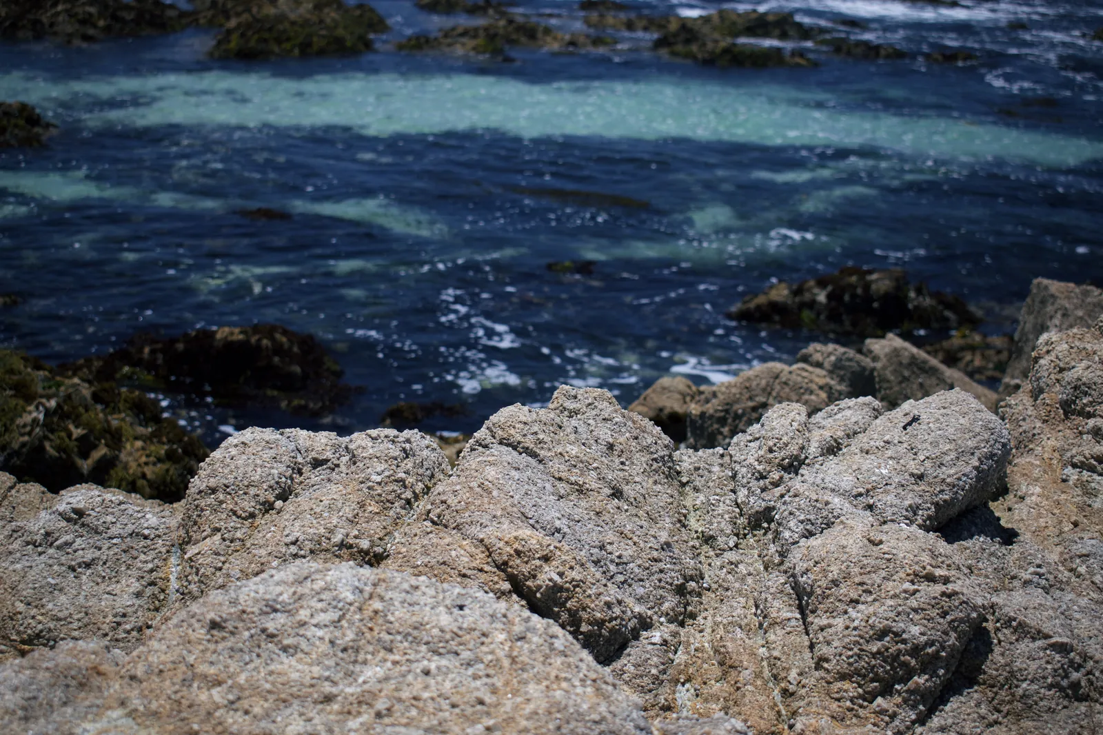
Asilomar State Beach in Pacific Grove. State Parks closed the beach and the Asilomar Coastal Trail from Friday night until Sunday morning, and says the closure could be extended through Tuesday.
Levi Clancy / Wikimedia Commons (CC0) · Source

Two of the Monterey Peninsula state beaches most used by weekend visitors are shut while the high surf warning runs its course. California State Parks closed Asilomar State Beach and the Asilomar Coastal Trail from Friday night until Sunday morning, and closed Carmel River State Beach from Friday afternoon until Sunday morning.

Both park pages warn that the closures may not end on Sunday. A run of large west-northwest swells, combined with tides running higher than normal, could keep the two beaches closed through Tuesday. The parks attribute the elevated tides to Kelvin Wave effects and to thermal expansion in the Pacific Ocean, and they ask the public to keep off sandy beaches, stay away from rocks and tidal zones, and keep their eyes on the water at all times.
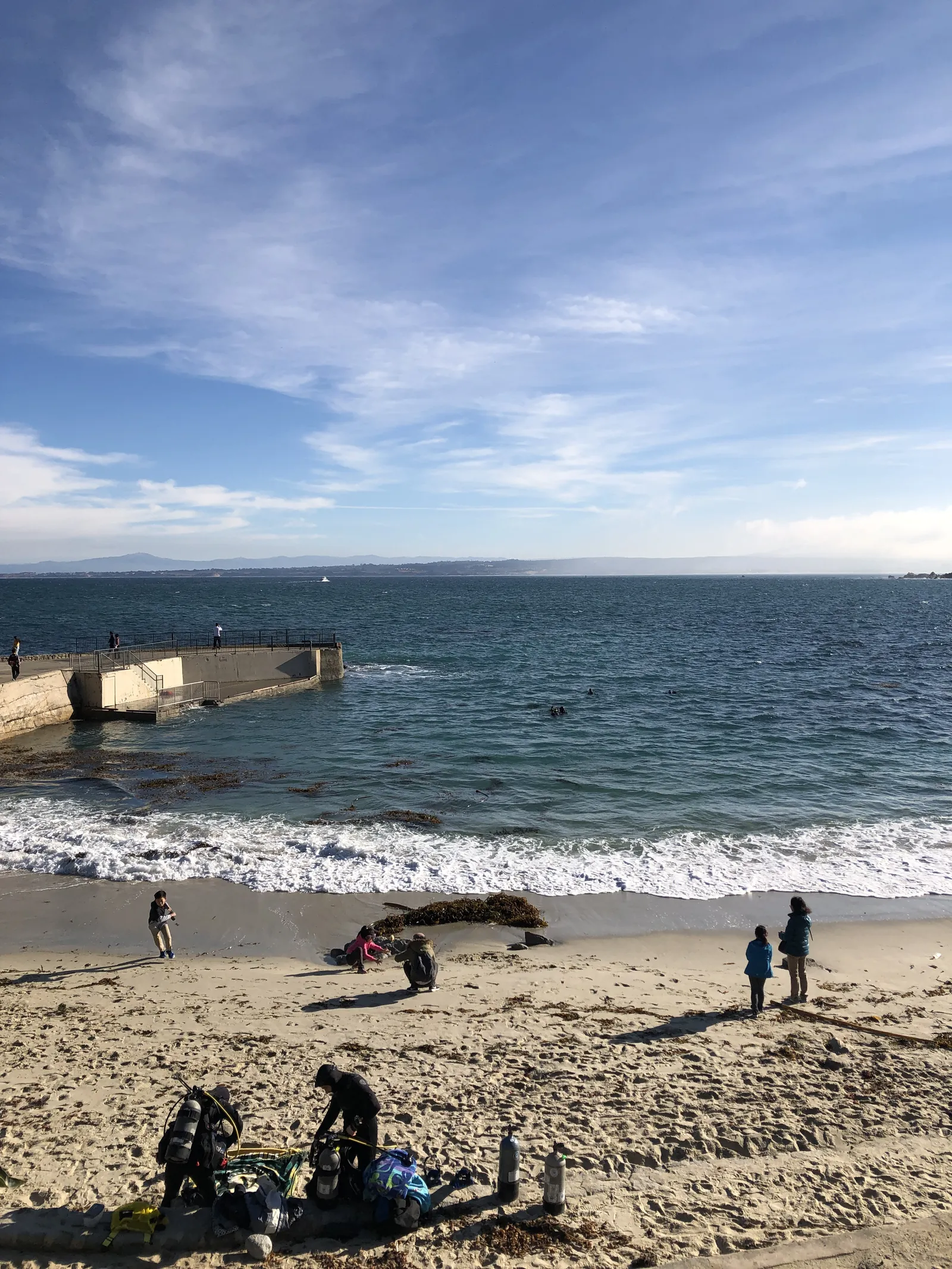
The beach and pier area at Lovers Point Park in Pacific Grove. The weather service advises everyone to stay out of the water and off piers, jetties and rocks while the warning is in effect.
Sarah Stierch (Missvain) / Wikimedia Commons (CC BY 4.0) · Source

Point Lobos State Natural Reserve took a shorter closure. Its park page says the reserve was closed on Friday, Nov. 13, because of predicted high winds, and that park crews will watch conditions and clear roadways and trails once conditions improve, with updates on reopening times to be posted on the page.

The warning behind the closures was renewed early on Saturday. In a coastal hazard message issued at 1:05 a.m. on Nov. 14, the National Weather Service office in San Francisco kept the high surf warning in effect until 4 a.m. on Sunday and a coastal flood advisory in place until 6 p.m. on Saturday. The warning figures are unchanged: breaking waves of 25 to 35 feet, with occasional sets of 40 to 50 feet where the shoreline shape favors them.
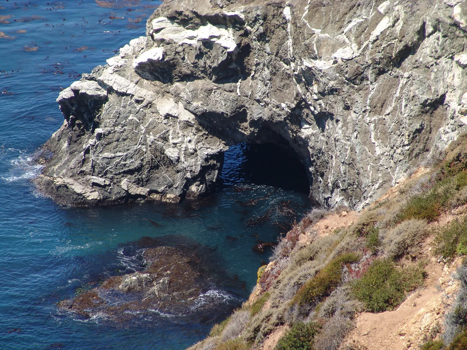
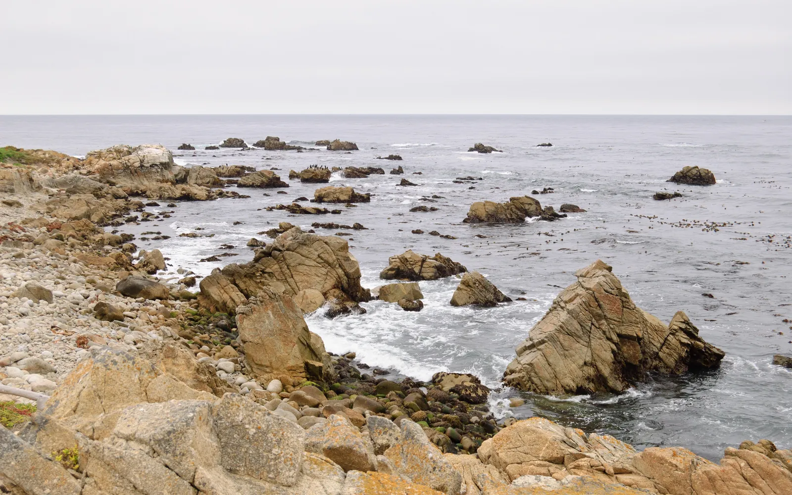
Rocky shoreline on the Big Sur coast, at the southern end of the warning zone. Saturday surf on west facing beaches in the Monterey Bay and Big Sur zone is forecast at 16 to 21 feet.
Martha Alejandre via U.S. National Archives / Wikimedia Commons (Public Domain) · Source

The separate surf zone forecast, issued at 4:35 a.m. on Saturday, gives the day its own numbers for the Monterey Bay and Big Sur coastal areas: surf of 16 to 21 feet on west facing beaches and 5 to 8 feet on south facing beaches, with a high tide of 4.8 feet at 12:17 p.m. on Saturday. For Sunday, the same forecast lowers northwest facing surf to 9 to 13 feet.

The flood advisory for Saturday is tied to the size of the breakers. The weather service expects large waves to run up beaches, spill over seawalls and reach low-lying structures beside the shore, with flooding of low-lying infrastructure, isolated road closures and coastal erosion among the likely effects. Its guidance matches the parks guidance: stay out of the water, keep off jetties, piers and rocks, allow extra time for travel in case roads close, and do not drive around barricades or through water of unknown depth.

Filed under:
  • monterey bay
  • high surf
  • state parks
  • asilomar
  • carmel river
  • point lobos
Monterey Tribune
Monterey Tribune
Corrections
We correct errors promptly and note them here. Send corrections through the contact form, choosing the Correction topic.
More from Environment & Coast

High surf warning expires, but an advisory keeps Monterey Bay breakers dangerous through Tuesday

The National Weather Service let the high surf warning expire at 4 a.m. on Sunday and kept a high surf advisory in place until 4 a.m. on Tuesday, with breaking waves of 20 to 25 feet. Carmel River State Beach was still listed as closed on Sunday morning, and State Parks warned that the weekend beach closures could be extended through Tuesday.

By Monterey Tribune · Nov 15, 2026

High surf warning takes effect at 6 p.m. Friday for Monterey Bay, with breaking waves of 25 to 35 feet

The National Weather Service keeps a high surf warning in place for the southern and northern Monterey Bay coast and the Big Sur coast through 4 a.m. Sunday, alongside two coastal flood advisories and a beach hazards statement for Friday afternoon.

By Monterey Tribune · Nov 13, 2026

October heat wave ends tonight as advisory expires for inland Monterey County

The National Weather Service heat advisory covering interior Monterey County, including the Santa Lucia Range, the Pinnacles area, the southern Salinas Valley and Lake San Antonio, expires at 10 p.m. Thursday after highs pushed past 100 degrees.

By Monterey Tribune · Oct 8, 2026
Read nextHigh surf warning expires, but an advisory keeps Monterey Bay breakers dangerous through Tuesday